- Return to How to use Google Earth for fishing
- How to use Google Earth to find structure
- How to use Google Earth to keep a customized fishing log
Boat Ramps
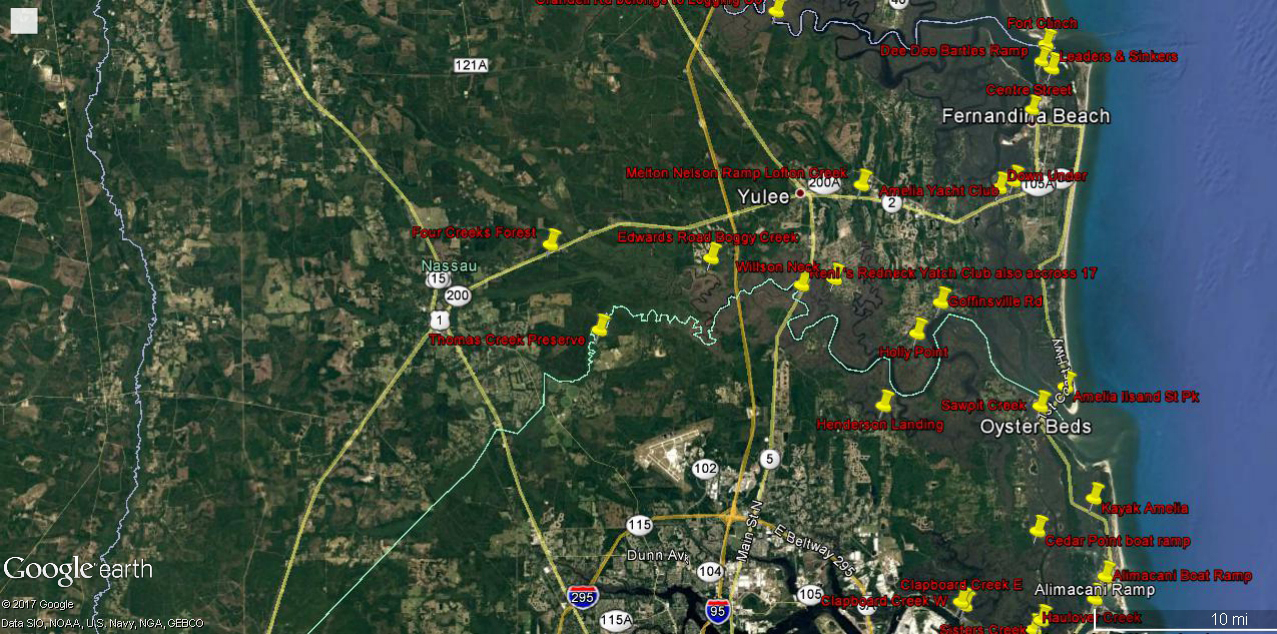
There are several websites that give direction to Nassau County, Duval County or Fernandina Beach boat ramps. There are also many ramps that are not government operated but still free. What Google Earth provides is the locations parking facilities and exact location on the water. Additionally, if you are launching a kayak there are places that you may want to check out to see if you can carry your kayak to the water. Google Earth is great for locating places to access the water without a boat. There are many spots that are not “official ramps” between the St John’s River and the St Mary’s River. Here are some of the ramps I have found in Nassau and northern Duval counties.
Access Points
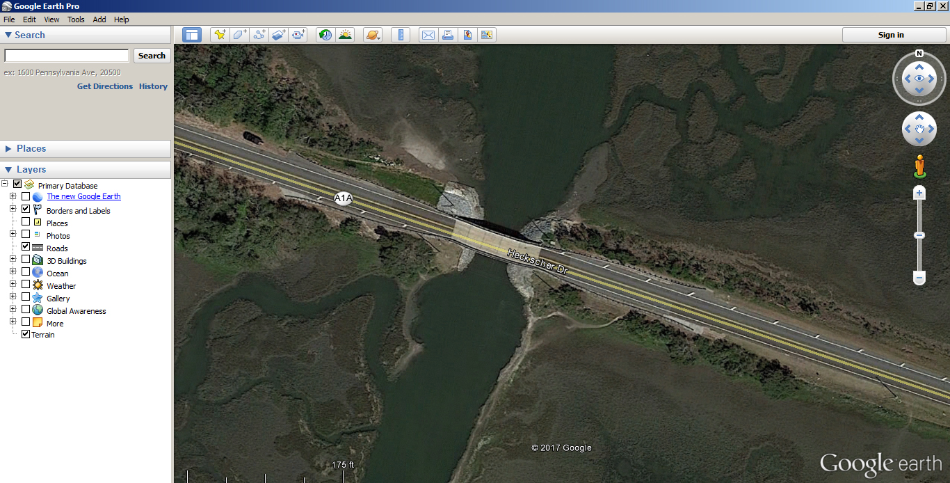
Zoom into an area where a road parallels or crosses a creek or river. There is a good chance that there is a boat ramp somewhere in the area or a bank fishing opportunity. Of course, ask permission before crossing private property.
This is Simpson Creek where Heckscher Dr crosses it. Both sides of the bridge have access to the water.


