How to use Google Earth to find structure.
How to use Google Earth as a fishing log.
How to use Google Earth to find boat ramps.

How to use Google Earth to find structure.
How to use Google Earth as a fishing log.
How to use Google Earth to find boat ramps.
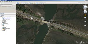
Return to How to use Google Earth for fishing How to use Google Earth to find structure How to use Google Earth to keep a customized fishing log Boat Ramps There are several websites that give direction to Nassau County, Duval County or Fernandina Beach boat ramps. There are also many ramps that are not government operated …