- Return to How to Use Google Earth for Fishing
- How to use Google Earth to find access point & boat ramps
- How to use Google Earth to keep a customized fishing log
Inshore Structure on Google Earth
You can identify inshore structure of many kinds using free satellite images from Google Earth. Google Earth is the only system to provide historic images that can be used to display different tide stages and light conditions.
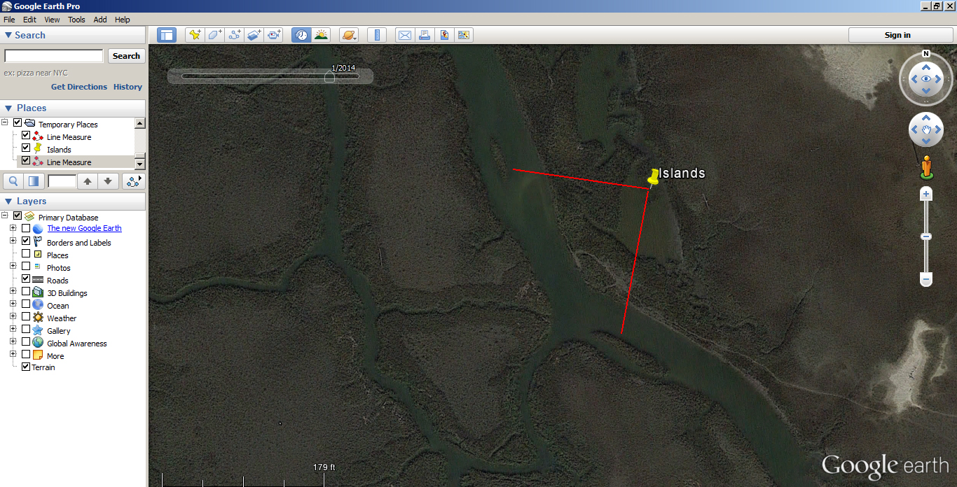
This area has several different structures in a small space. The first image is from January 2014 at a high tide stage. There is a feeder creek and two small islands in the larger creek.
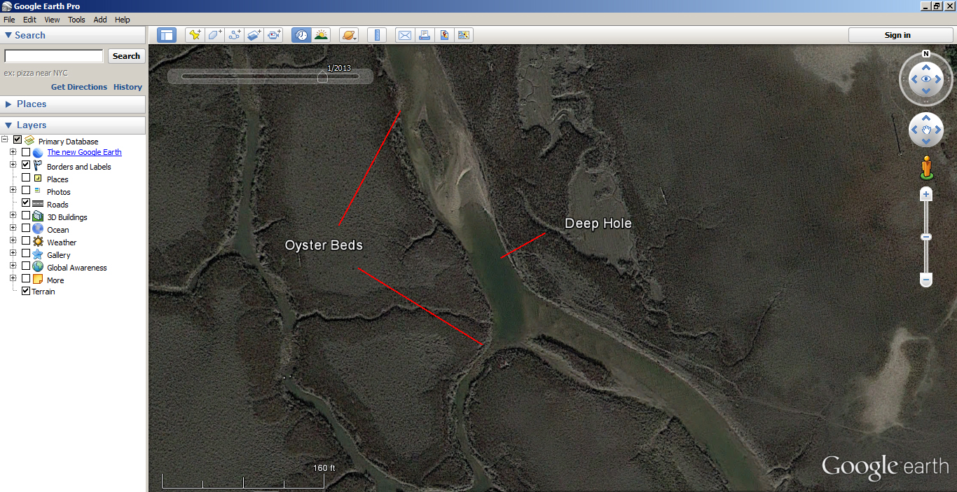
The second image is at low tide and shows a better story than the first. There is a deep hole right in front of the small feeder creek. There are two oyster beds. This area has all the makings of a spot to spend some time on an outing to the area.
Zoom in on your favorite fishing spot to see if you have been missing anything. Plan a trip to a new spot. Google Earth is the best tool to identify potential honey holes.
Oyster Bar
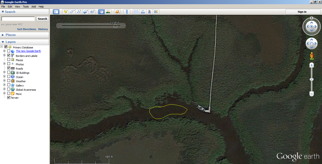
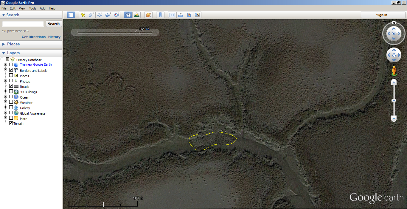
Here is another example of how oyster bars can be completely hidden at high tide but very obvious on Google Earth at low tide.
Surf Fishing
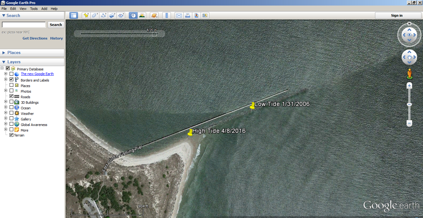
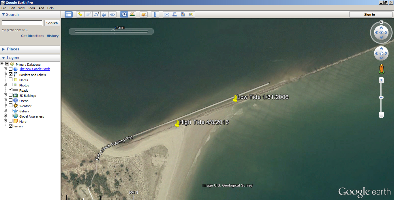
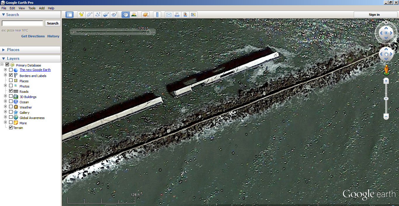
Google Earth can provide a unique look at the beach at both high and low tide. The beach is a much more dynamic environment than an inshore creek. The images on Google Earth will show the types of changes that can take place in a giving area but probably not what is present today. Here is an example of how much the tide changes from high to low.

